WEATHER WATCH: Strong chance of cyclone making landfall north of Cooktown before the end of the week
Weather watch
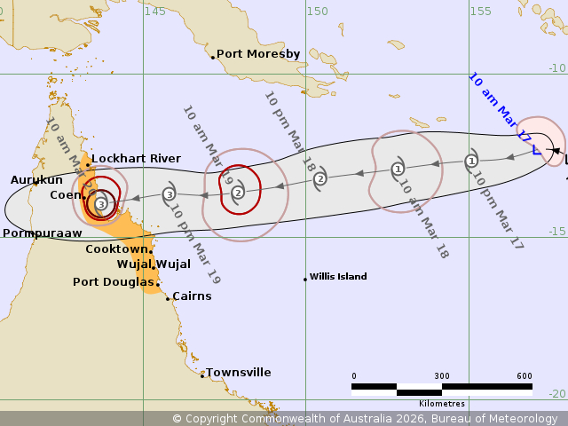
There is now an 80 per cent chance of a tropical cyclone called Narelle forming northeast of Cooktown by Thursday, according to the Bureau of Meteorology.
The latest long-range forecast predicts the tropical low currently sitting off the coast of Far North Queensland may turn into a category three system by the time it reaches landfall on Thursday night or Friday, bringing strong wind gusts of up to 120km/h to regions as far south as Port Douglas from Thursday morning.
The bureau predicts the weather system to be fast moving, but winds of more than 150km/h are possible between Coen and Cooktown.
It is expected to move rapidly across land and back out to sea on the other side somewhere around Aurukun.
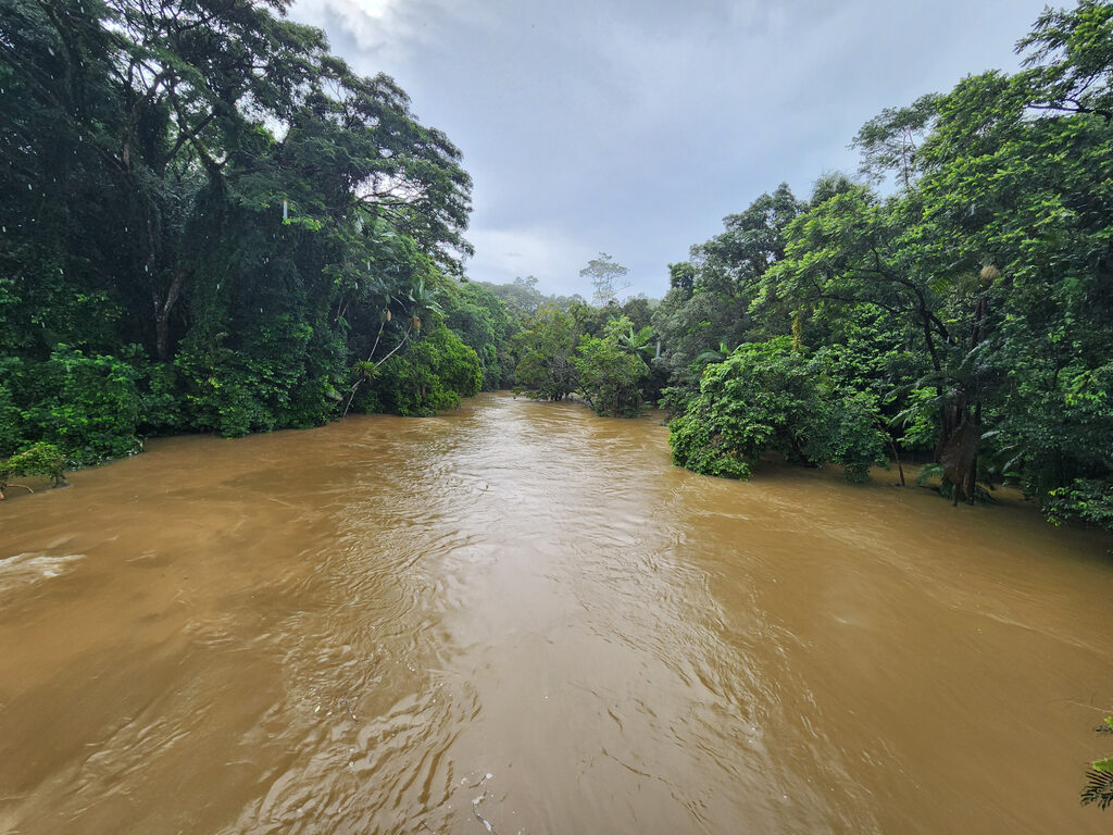
The system is likely to bring more flooding rain to already flooded parts of FNQ, with the Daintree, Mossman and Bloomfield rivers already swollen following heavy falls on the weekend.
For more information go to dashboard.douglas.qld.gov.au.