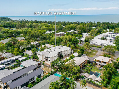
Killaloe Suburb Snapshot
Location:
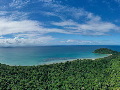
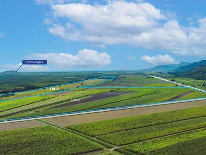
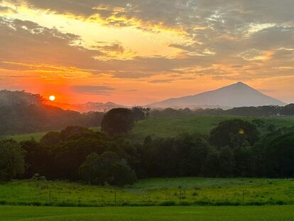
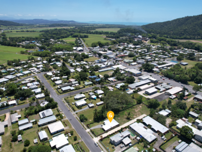
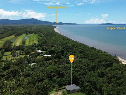
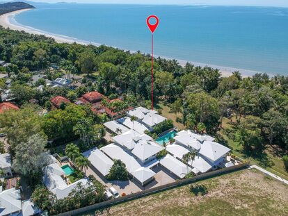
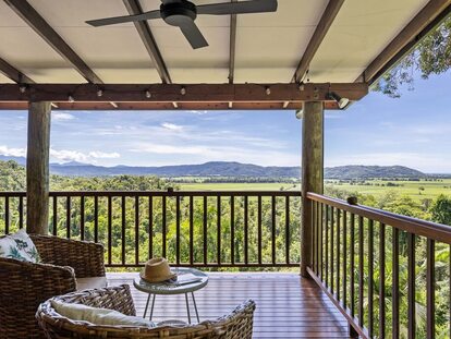
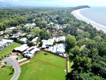
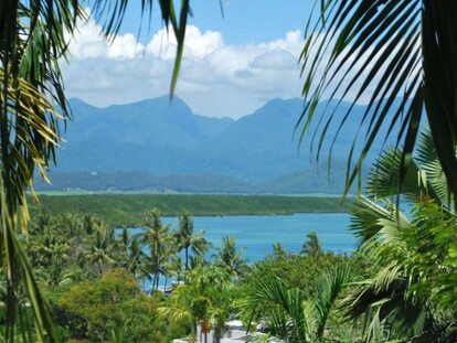
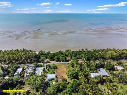
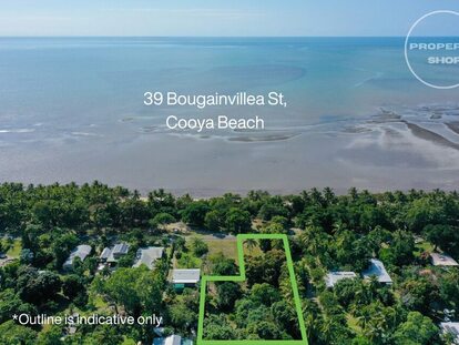
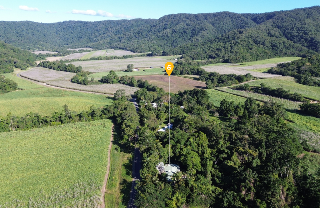
Just 12 kilometres north of Port Douglas, you’ll find the small locality of Killaloe bordered by The Cassowary Range on the south-west. Numerous small creeks flow down from the range through the locality to the sea.
LGA & Postcode:
Shire of Douglas, 4877
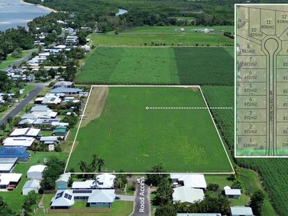
Area:
24.6 km2 (9.5 sq mi)
Population (census 2016):
116
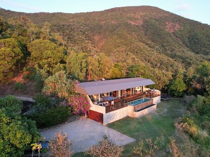
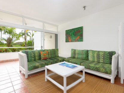
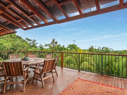
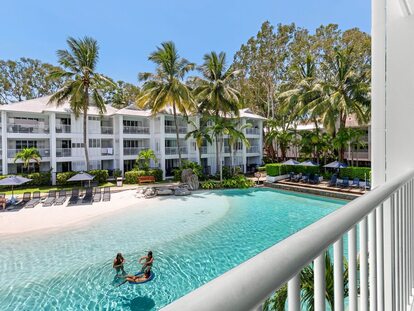
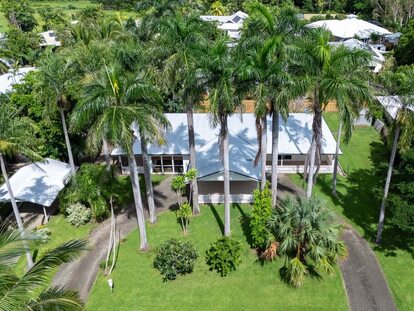
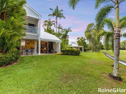
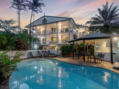
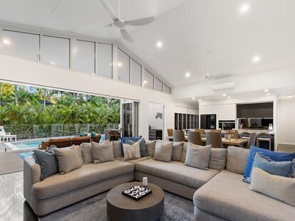
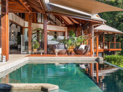
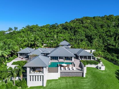
Living in Killaloe:
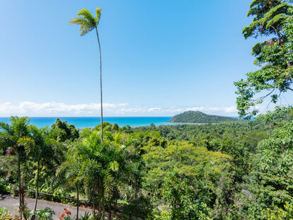
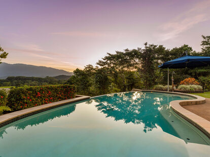
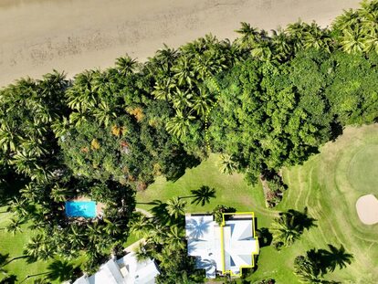
Killaloe offers views as far as the eye can see on the ocean as well as the ranges.
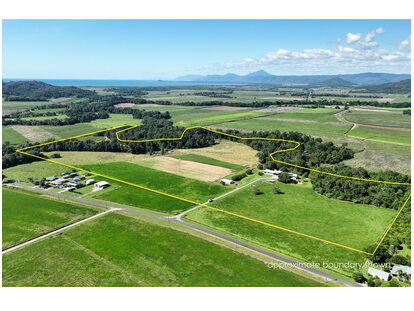
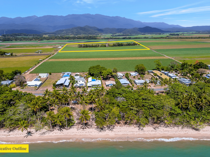
The Captain Cook Highway and the cane tramway to the Mossman sugar mill pass through the locality from south-east to north-west. Most of the developed land occurs on either side of these transport routes and the predominant land use is the growing of sugarcane.
There are no schools in Killaloe, but there is a primary school in neighbouring Port Douglas. The nearest secondary school is Mossman State High School.