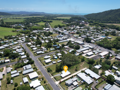
Mount Molloy Suburb Snapshot
Location:
Mount Molloy is situated approximately 76 kilometres north-west of Cairns and 30 kilometres west of Port Douglas.
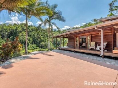
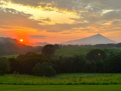
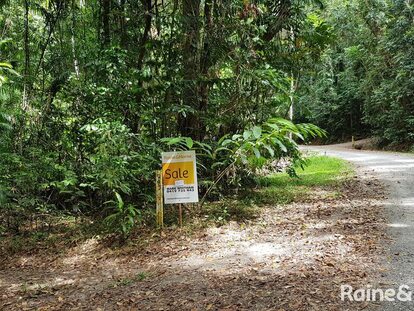
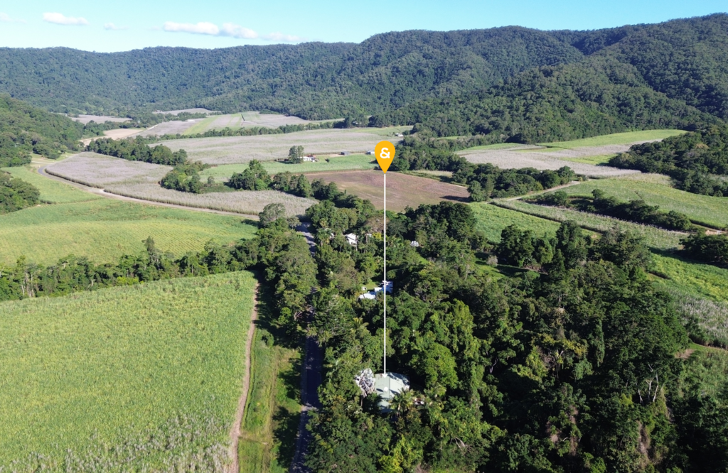
It is situated in the picturesque Mount Lewis National Park area, surrounded by lush rainforests, rolling hills, and stunning scenery. The town itself is located on the eastern edge of the Atherton Tablelands and is surrounded by pastoral lands and bushland.
LGA & Postcode:
Shire of Mareeba, 4871
Area:
252.9 km2 (97.6 sq mi)
Population (census 2016):
254
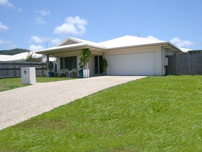
Living in Mount Molloy:
Living in Mount Molloy offers a rural lifestyle with a strong community spirit. The town is surrounded by natural beauty, including mountains, rainforests, and waterfalls.
Residents of Mount Molloy enjoy a peaceful and tranquil environment, away from the hustle and bustle of the city. The town offers a quiet and relaxed atmosphere, making it an ideal location for those looking for a slower pace of life.
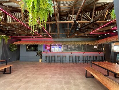
The town is home to a primary school and a local pub that serves as a popular gathering spot for locals and visitors alike. Mount Molloy is also well-positioned for those who enjoy outdoor activities, with hiking trails and camping sites nearby.
Overall, living in Mount Molloy offers a serene and close-knit community lifestyle with easy access to nature and outdoor recreation.
The main industries in Mount Molloy are agriculture, forestry and fishing.
Real estate market statistics:
The predominant age group in Mount Molloy is 60-69 years. Households in Mount Molloy are primarily childless couples and are likely to be repaying $1000 - $1399 per month on mortgage repayments. In general, people in Mount Molloy work in a machinery operators and drivers occupation. In 2011, 66.7% of the homes in Mount Molloy were owner-occupied compared with 70.5% in 2016. Currently the median value of houses in the area is $371,795.
(Information retrieved from CoreLogic)