Mowbray Suburb Snapshot
Location:
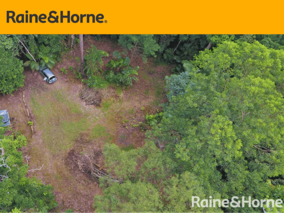
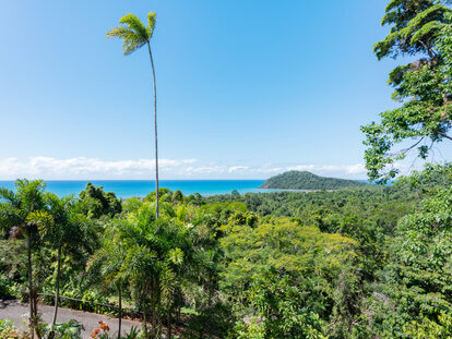
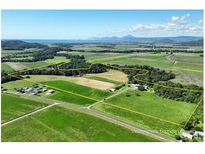
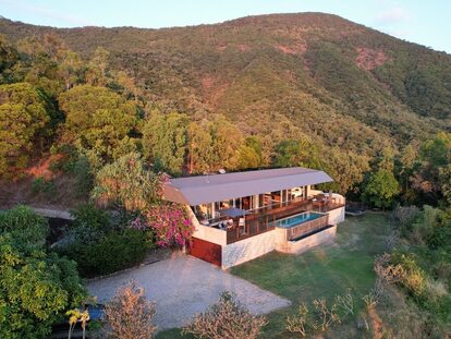
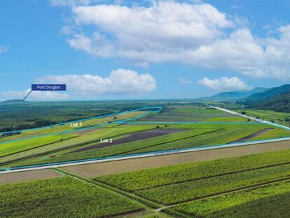
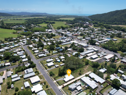
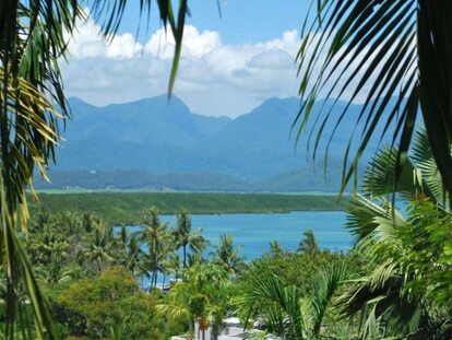
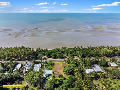
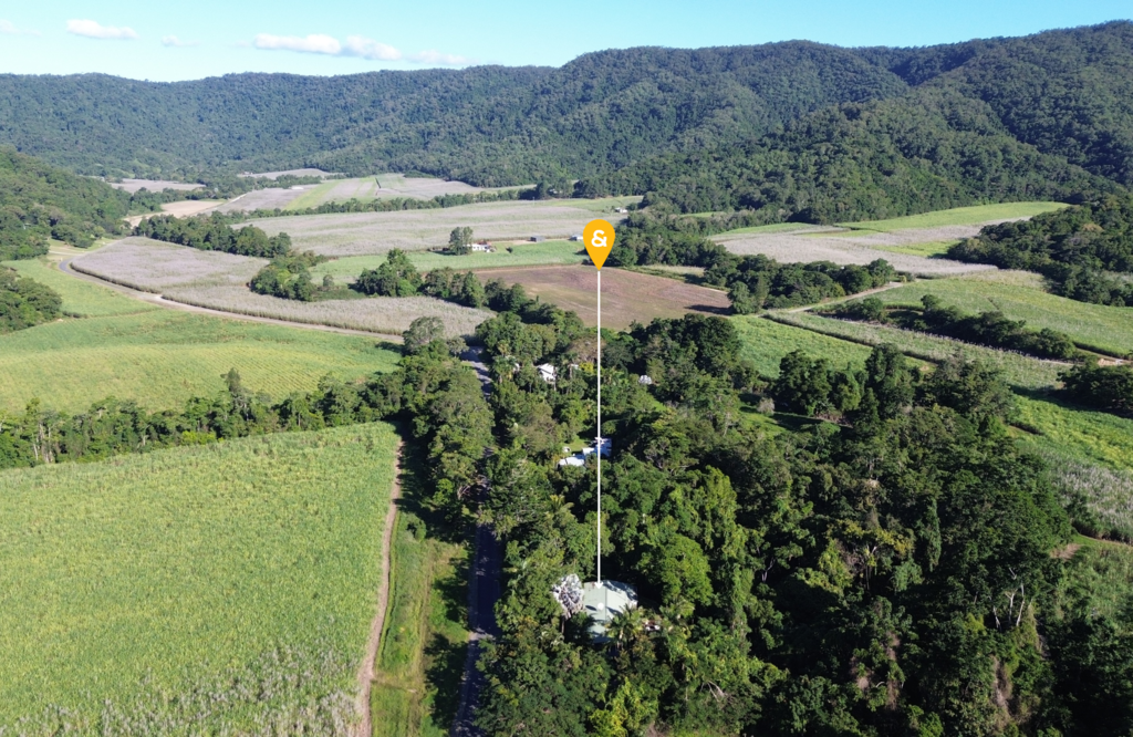
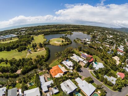
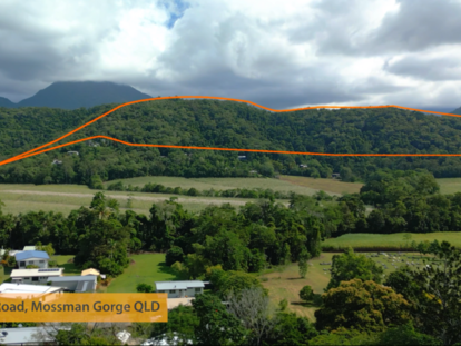
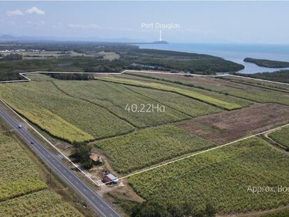
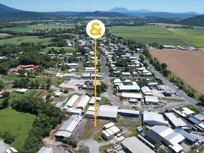
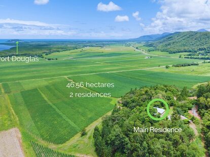
In the foothills of the Macalister Range and the Wet Tropics Mowbray National Park, the Mowbray Valley lies 12,7 kilometres south of Port Douglas. Most of the terrain in Mowbray is mountainous and the Captain Cook Highway passes through the locality from south to north.
LGA & Postcode:
Shire of Douglas, 4877
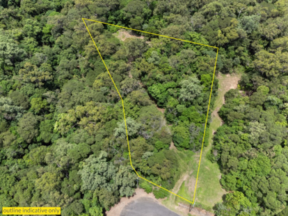
Area:
97.3 km2 (37.6 sq mi)
Population (census 2016):
321
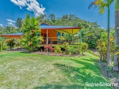
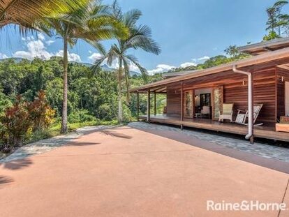
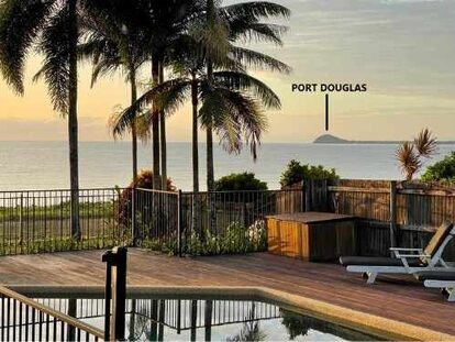
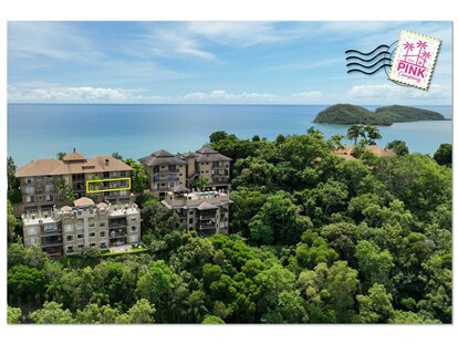
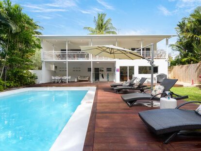
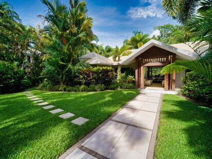
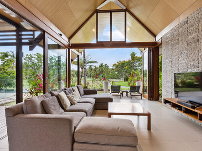
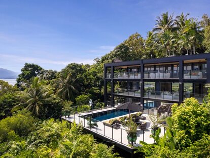
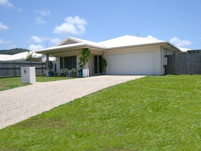
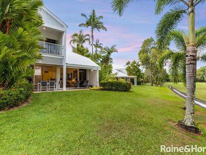
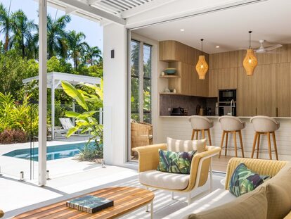
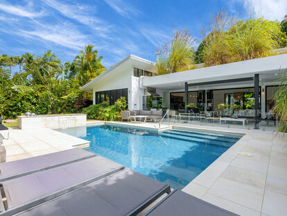
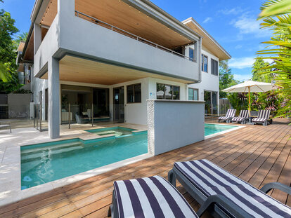
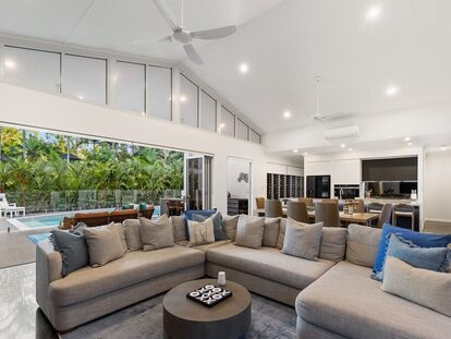
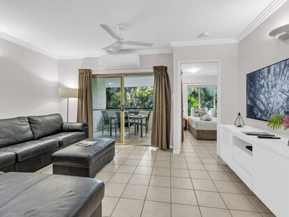
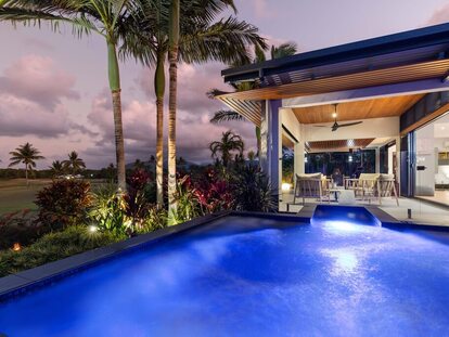
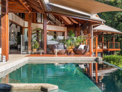
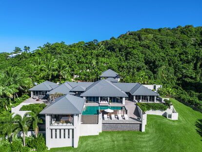
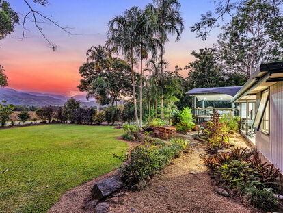
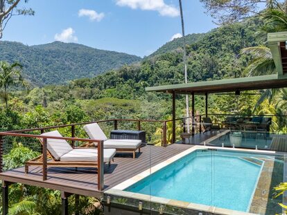
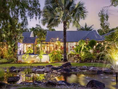
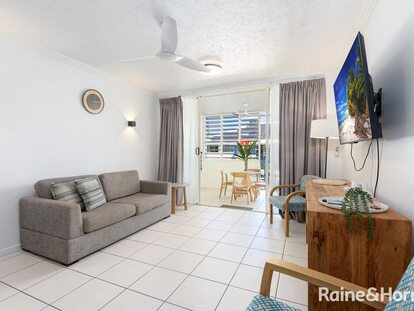
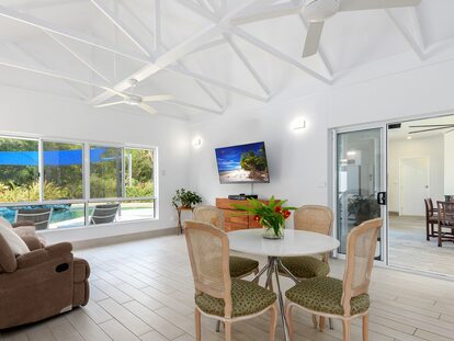
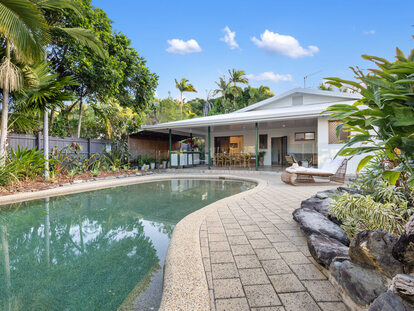
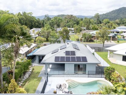
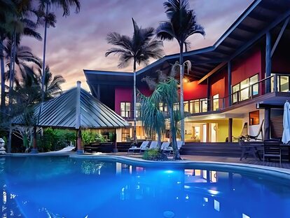
Living in Mowbray:
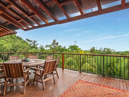
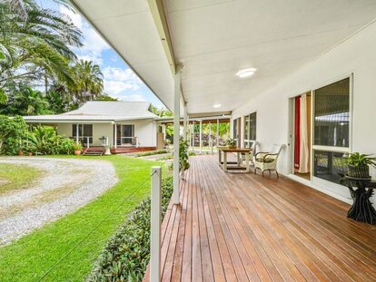
Escape to a calmer lifestyle, surrounded by tropical bushland, where it is private and quiet.
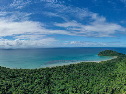
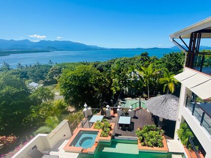
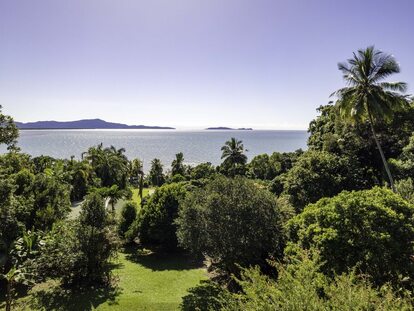
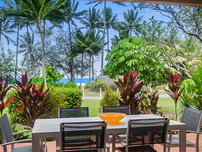
The picturesque Mowbray Valley is a highly sought after and attractive location for Port Douglas locals because it offers magnificent, elevated views of the coast, just a 10 minute drive from town and less than an hour to Cairns International airport.
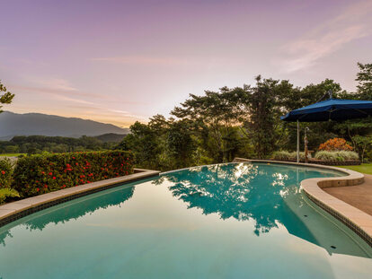
With swimming holes and waterfalls, Mowbray offers an enviable lifestyle with a clean and green environment and lack of traffic.
In mowbray you have the best of both worlds, lifestyle but still in reach of all the ‘must haves’ with larger blocks for more privacy, room to move, and stunning views.
Real estate market statistics:
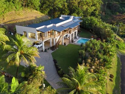
Currently the median value of houses in Mowbray is $1,165,945.
The predominant age group in Mowbray is 50-59 years. Households in Mowbray are primarily childless couples and are likely to be repaying $1800 - $2399 per month on mortgage repayments. In general, people in Mowbray work in a trades occupation. In 2011, 80.4% of the homes in Mowbray were owner-occupied compared with 73.9% in 2016.
(Information retrieved from CoreLogic)