'Cyclone sandwich' threat is low
Weather Watch
Weather experts are monitoring two low pressure systems which pose a double cyclone hit on Far North Queensland, locking the Cape Yorke Peninsula in a cyclone sandwich as early as next week.
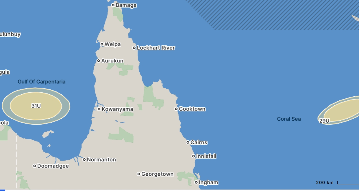
The two low pressure systems are among eight in a strip of systems spanning waters immediately north of Australia and reaching from the Indian Ocean to the Coral Sea and beyond.
Identified currently as 31U, in the Gulf of Carpentaria, and 29U which is being monitored 1000km east of Cairns with the chance of developing into a cyclone and tracking towards the Queensland coast, pose the greatest concern of the systems.
The Bureau of Meteorology’s 7-day forecast last Wednesday indicated that Tropical Low 29U stood a 10 per cent chance of forming into a cyclone by Tuesday.
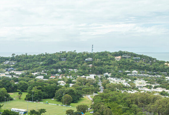
The system’s projected path puts Port Douglas and surrounding Far North communities directly in the impact zone.
But the latest update by the BOM said 29U now has a low chance of developing into a tropical cyclone from Tuesday onwards, increasing to a moderate chance during Thursday and Friday as environmental conditions improve.
29U is expected to move towards the southwest later this week, and may move over the Queensland coast between Cairns and Mackay, the latest update said.
The Bureau of Meteorology said that while the system may drift close to the coast early next week, it is more likely to remain offshore.
Simultaneously, in The Gulf of Carpentaria, 31U could form into a tropical low on Tuesday.
If it forms and remains over The Gulf waters it has a 5 per cent chance of developing into a tropical cyclone from Wednesday.
Residents in potential impacted areas have been advised to be prepared and to continue to check official updates.